

Longitudinal Landscapes: Mud, Monitoring, and Mobilization
LAN3016Y F
Instructor: Justine Holzman
Meeting Section: L0101
Tuesday, 9:00am - 1:00pm; Friday, 2:00pm - 6:00pm
Location: TBD
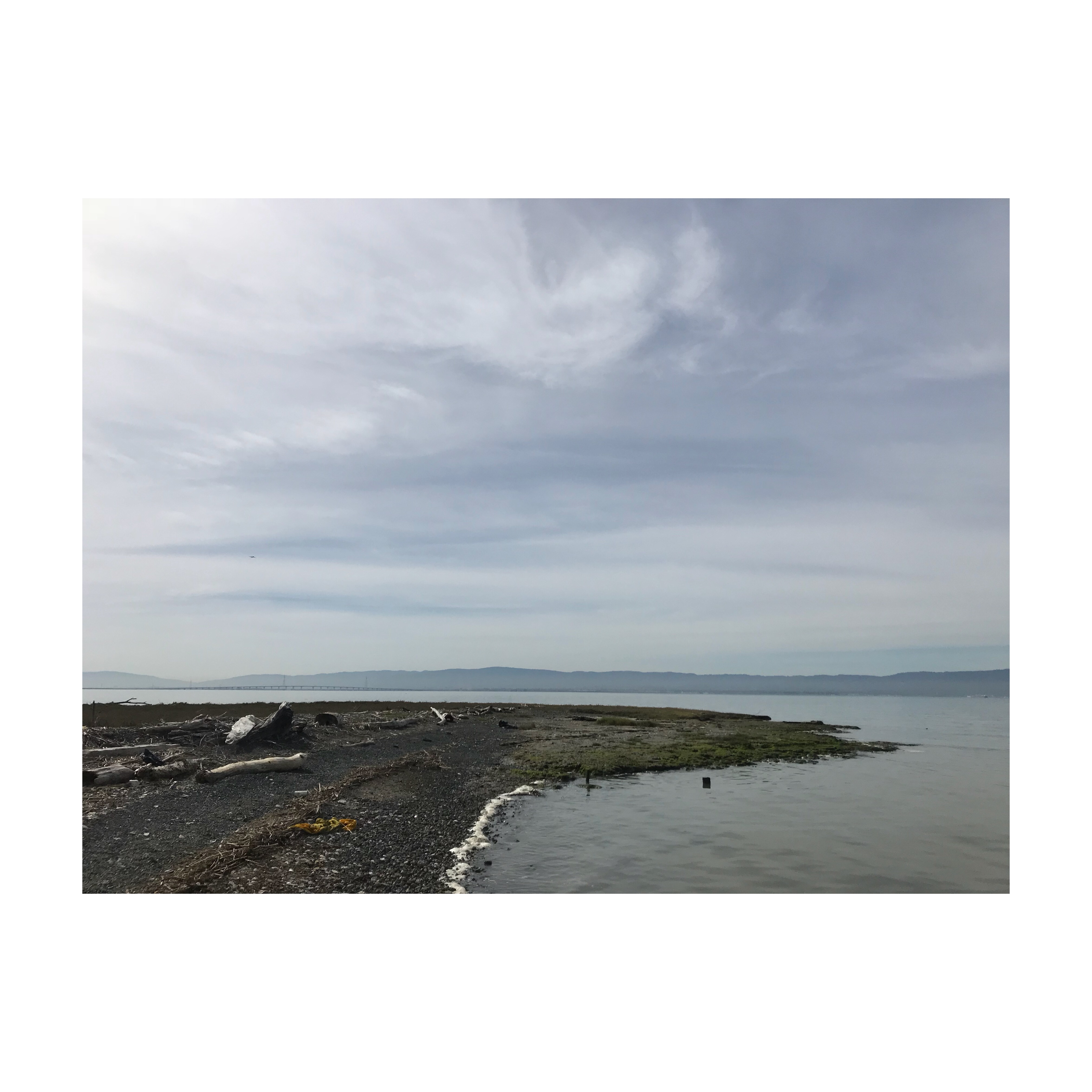
Call to Action: The consequences of human action are felt across geography and time. The Bay Area is beginning to viscerally experience the effects of elevated global greenhouse gas emissions, facing new environmental realities of rising sea levels, unpredictable weather patterns, and increased flood, fire, and erosion events. While global change impacts the region, its response is shaped by the legacies of past decisions—resource management policy, physical infrastructure, and social patterns—that can exacerbate the impacts of climate change at the local level. Although the consequences of some choices, like building in the floodplain, are clear and perceptible to the general public, other actions reveal their impacts slowly over time and are invisible to the human eye. Sediment scarcity and wetland drowning are difficult to perceive. There is no clear disaster moment; instead, this catastrophe is slow, rendered in millimeters over years. Collaboration—between regulators, engineers, watershed managers, policy makers, and designers—is critical to developing new methods and new implementation pathways for sediment management and sea level rise.
Studio Framing: The Longitudinal Landscapes: mud, monitoring, and mobilization option studio grabs the momentum from the recent international design competition, Resilient by Design: Bay Area Challenge to apply the extensive body of interdisciplinary design research. Specifically, the studio will build on the design approach and research done by the Public Sediment Team (SCAPE/Landscape Architecture, Dredge Research Collaborative, Arcadis, UC Davis, TS Studio, and Buoyant Ecologies Lab). Where the Resilient by Design competition was a “big ideas” competition, the Longitudinal Landscapes studio will begin to focus in on identified sites and strategies for design that support reconnecting the Bay Area’s tributaries to its baylands, the marshes and mudflats that host important ecologies, retain carbon, and protect communities along the bay. Rather than focus on the coastal edge as the “first line of defense” the studio views the hydrologic systems longitudinally—connecting upland, lowland, and coastal communities through their historic and contemporary hydrology.
Understanding that working with living systems requires careful monitoring and adaptive management, the studio will concurrently work to produce site design strategies alongside monitoring infrastructure. The monitoring infrastructure will manifest as an exhibition of working prototypes for upland, fluvial, tidal, and coastal sensors. The studio will be supported by Autodesk in this effort, and will provide a series of structured workshops, software tutorials, fabrication equipment, and collaboration space. Throughout the duration of the studio, the students will be Autodesk Residents alongside designers and researchers working at the forefront of their fields at the MaRS Centre with access to their Technology and Innovation Centre to aid in this effort.
The Details: Specific software workshops, fabrication, guest lectures, and pin-ups will be held in the Autodesk facilities. The studio will culminate in a public exhibition of student work at the MaRS Centre and an advanced discussion of how monitoring infrastructure can assist in the design, adaptive management, and understanding of urbanized coastal watersheds while providing opportunities to connect publics and democratize data. Additionally, the studio will provide an optional field trip to the Bay Area from October 26-31 where the students will have the opportunity to explore the geography, conduct field work, meet with local stakeholders, and engage with members of the Public Sediment team.