

Multi-Layered Urbanism: Toronto's PATH System
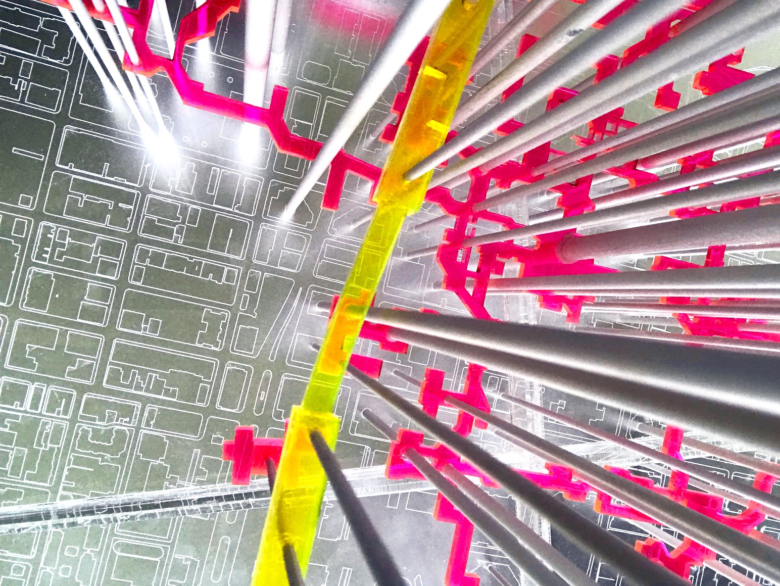
Laura Miller, Studio Model Photograph, 2018
ARC3016Y S
Instructor: Laura Miller
Meeting Section: L0103
Tuesday, 2:00pm - 6:00pm; Friday, 2:00pm - 6:00pm
This studio will examine how complex relations between architecture and infrastructure, and thresholds between public and private space can be leveraged to create dynamic forms of multi-layered urbanity. Toronto’s underground pedestrian system, the PATH, will be our extended site of research and design speculation.
Development today within the GTA is proceeding at an unprecedented rate. New office and condominium buildings populate the downtown core and beyond; new precincts of housing and mixed-use development are planned; new transit infrastructure is underway and more projected. The last wave of such transformative development in Toronto occurred in the post-war decades. Progressive planning ideas of that era were instrumental in re-conceptualizing a handful of extant underground connections in downtown as an ‘urban pedestrian system,’ later known as the PATH. In the 1960’s, Montreal, Calgary, and Toronto, and U.S. cities such as Dallas and Minneapolis engaged in the development of dedicated pedestrian ways as a solution to crowded streets and sidewalks wrought by urban intensification and increased automobile ownership. For a short period, the PATH system was a site of civic investment and future speculation. Before and after the City’s limited involvement, however, the PATH has grown in fits and starts, mostly subject to private development interests.
Toronto’s nascent underground began in 1900, connecting Eaton’s department store with its bargain basement. Below-grade, weather-free shopping and access has proved to be a powerful combination. Today, the PATH is a vast system: “30 kilometers of walkable, weather-free comfort,” merged with the “world’s largest subterranean shopping mall.” The sea of shopping and feeding opportunities provide insulation from the weather, but also from the stimulation and opportunities of urban life that lie but a ceiling plenum/ground plane away.
Why are these realms so far apart? Why is moving between them such an impoverished experience? Shouldn’t we expect more from such a massive piece of the city? The City does not include the PATH in its recent Downtown Plan, except as an afterthought; how does the PATH ‘s history affect the way that it is seen, or not seen, today?
Undoubtedly, underground connections will continue to be created in the city as new development continues unabated. Toronto is presented with a generational opportunity, calling for the reexamination of the PATH as part of a reinvestment in civic infrastructure and public space. This studio will opportunistically look for possibilities latent in the PATH and related expansion sites such as the Downtown Relief Line, so as to provoke the imaginative recalibration and invention of new architectural spaces, programs and forms of urban experiences connecting Toronto’s streets, buildings, PATH, subway, parks, civic and public spaces.
Research will be conducted individually and as a group, built upon and extending that of last year’s PATH studio. It will include: Precedent analysis, historical/archival research (City of Toronto Archives, CCA), reading/ analysis of cultural and theoretical constructions of the underground, public space, and access; site reconnaissance, documentation and analysis. Studio research will contribute to a planned publication on the PATH (2020).
By the end of the term students will present a design thesis proposition, to be pursued in the subsequent thesis semester. The argument will be constructed upon individual interests as these intersect with the studio’s research.
We will plan to visit Montreal early in the term, to study the Underground City, a contemporaneous development to the PATH.